

Hiking Feathertop to Bogong
Victorian Alps


Experience the best of the Victorian Alps with this traverse between two classic peaks.
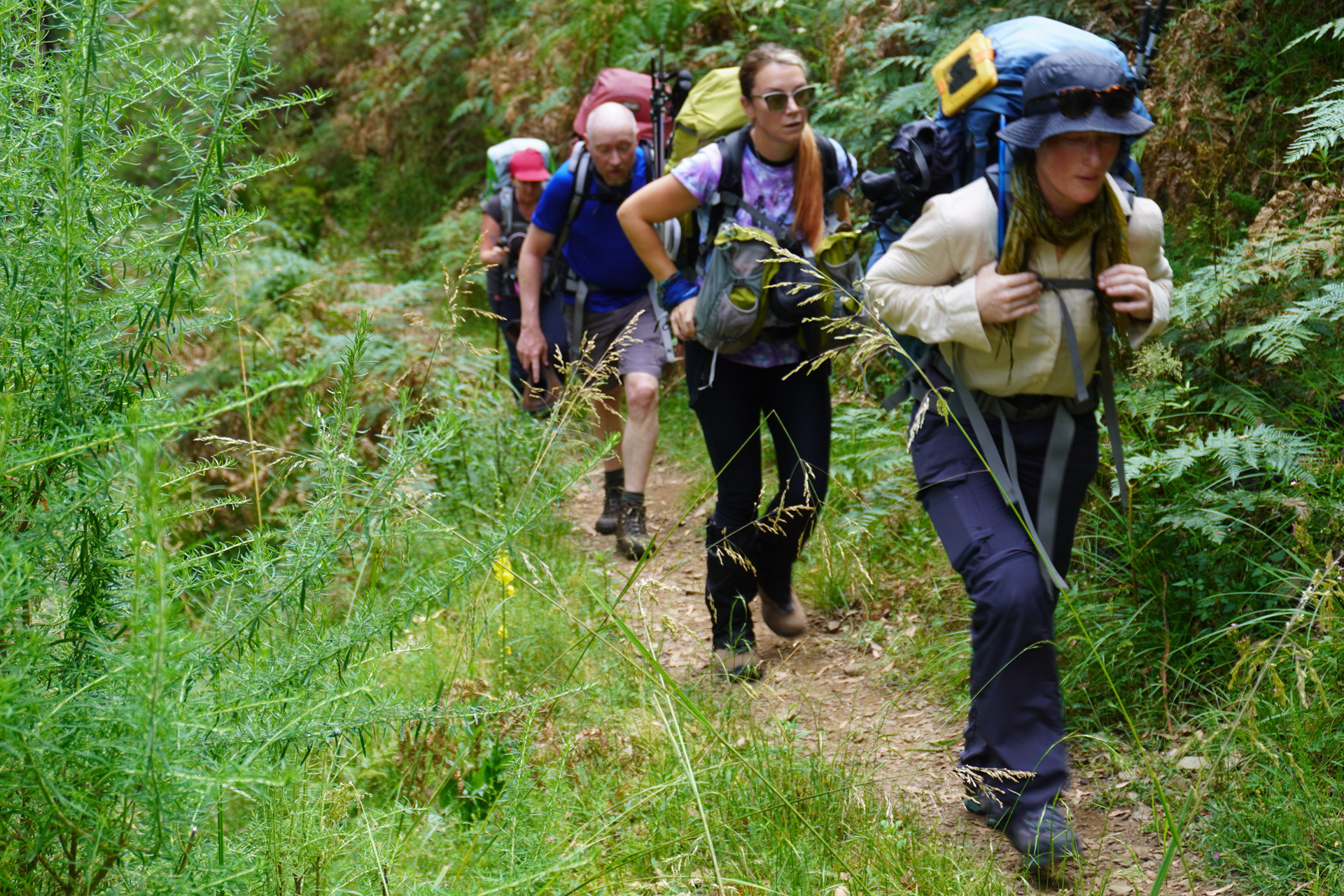
Some of the first colonial visitors to these mountains were bush rangers hiding out from the authorities, but nowadays regular folk can enjoy the rugged alpine environment without having first committed a colonial crime. And it’d be a crime to consider oneself an experienced, all-round Aussie bushwalker without having hiked the Victorian Alps. Alternatively, if you’ve already completed the popular Falls to Hotham route and loved it, take it up a notch with this longer, harder, and less-frequented traverse between ancient Waveroo and Jaitmatang country.
-

Location
Victorian Alps
-
Distance
82km
-
Duration
5 Days
-
When to go
Year Round
-
Sleeping
Camping
-
Permit required
No
Highlights
- The highest peak in Victoria – knock it off your to-do list.
- Having somewhere warm and dry to relax and exchange tales with fellow hikers after a hard day’s walking.
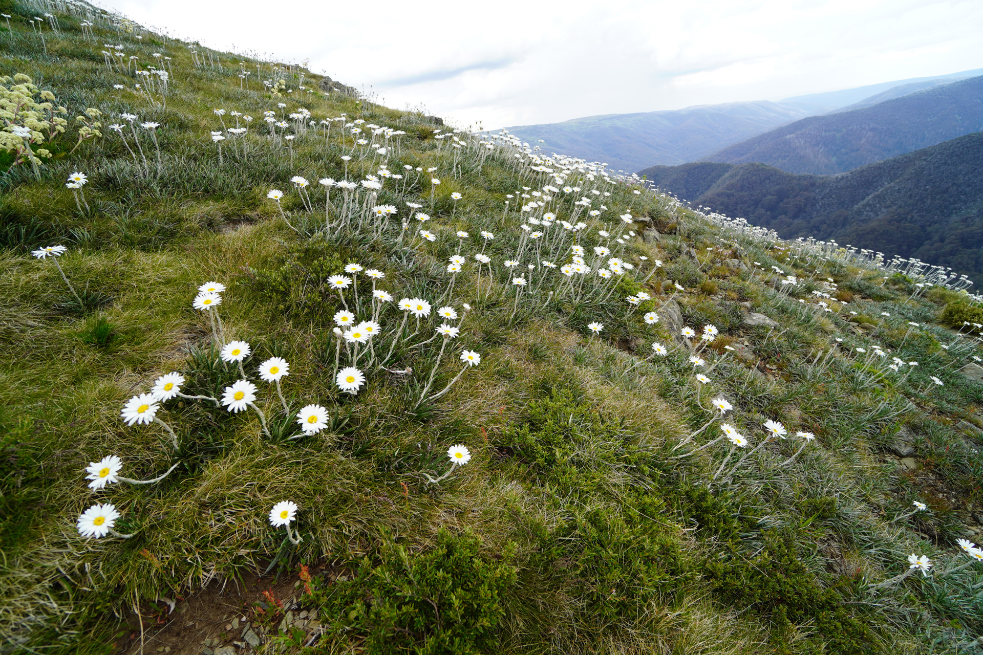
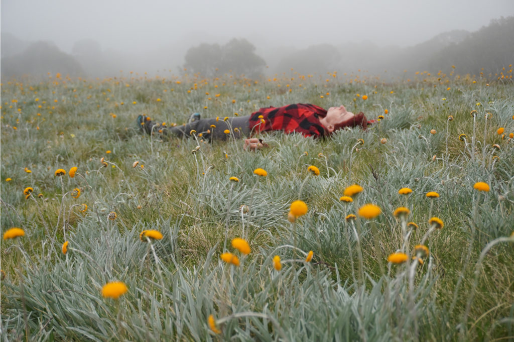
- The colour and variety of the alpine wildflowers in bloom.
- Razorback Ridge – one of the finest ridge walks in Australia.
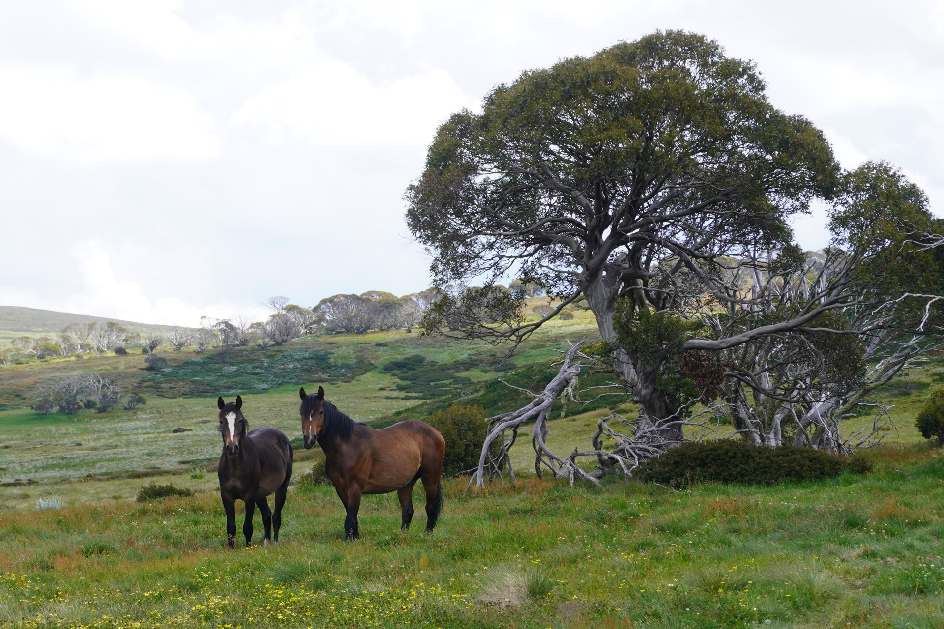
- Seeing wild brumbies up close.
When to go
November to April is a reasonable window at which to aim for settled weather in the Victorian Alps, although summer storms can occur suddenly and at any time. For experienced backcountry skiers, mid-winter could be an attractive alternative. N.B. Skiing the route is a very different prospect and beyond the limits of this guide.
The Hike in Stages
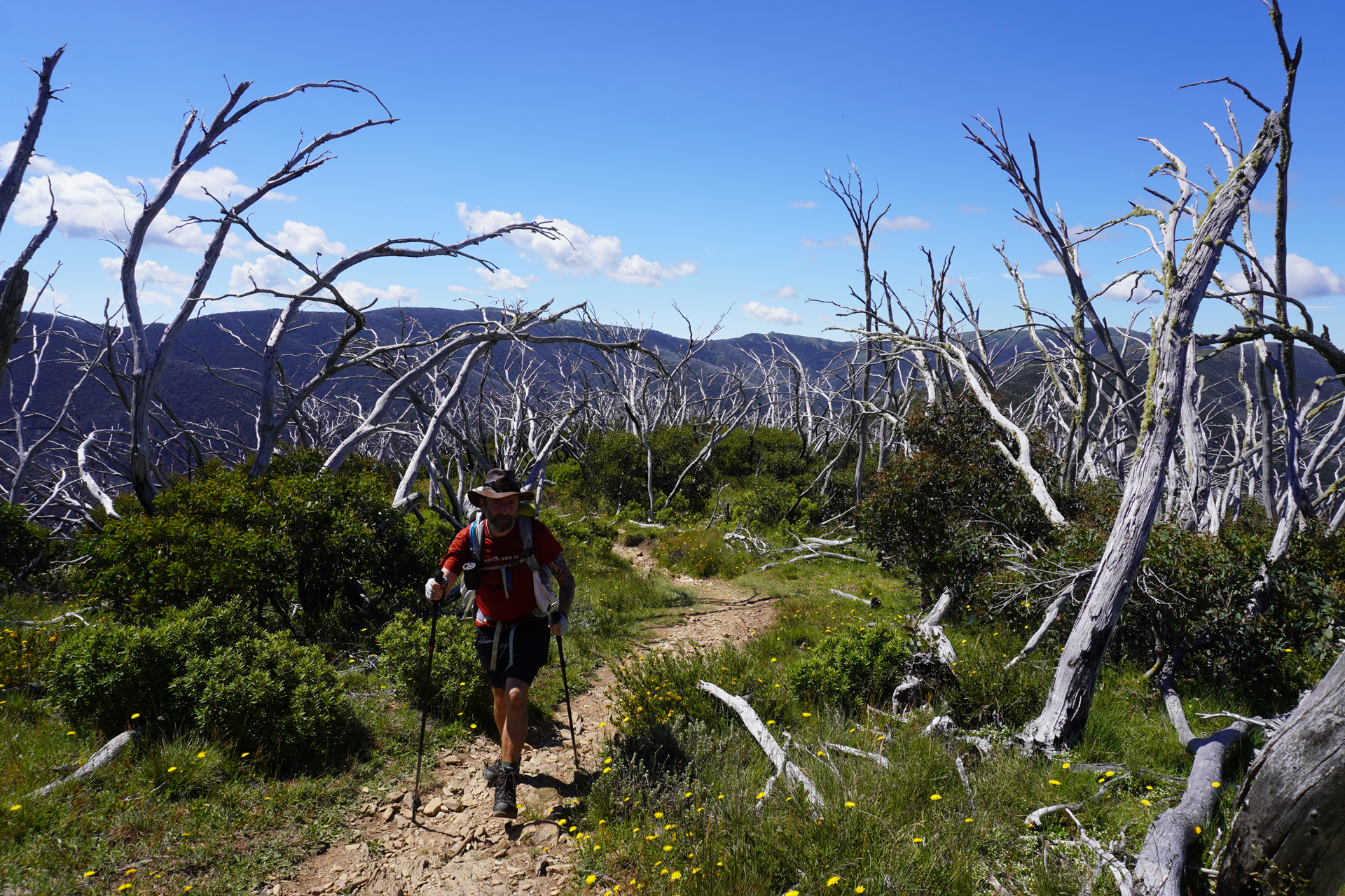
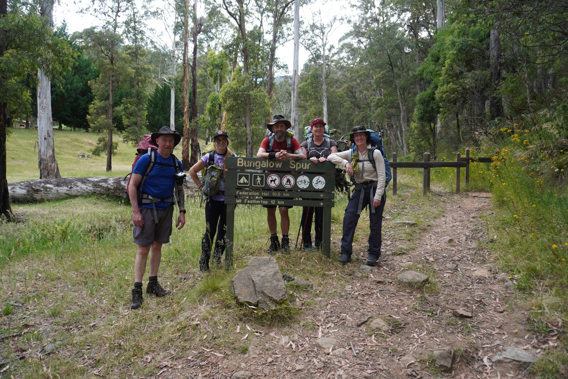
Day 1: Harrietville to Federation Hut – 8.5km
It’s uphill from the get go, starting gently up Bungalow Spur but getting steeper as you ascend. There’s no let up until you reach the Federation Hut, although there is a beautiful cold spring on the way – don’t miss it. Once recovered, it’s another 3.5km round trip to the summit of Feathertop, which can be done that evening or the following morning.
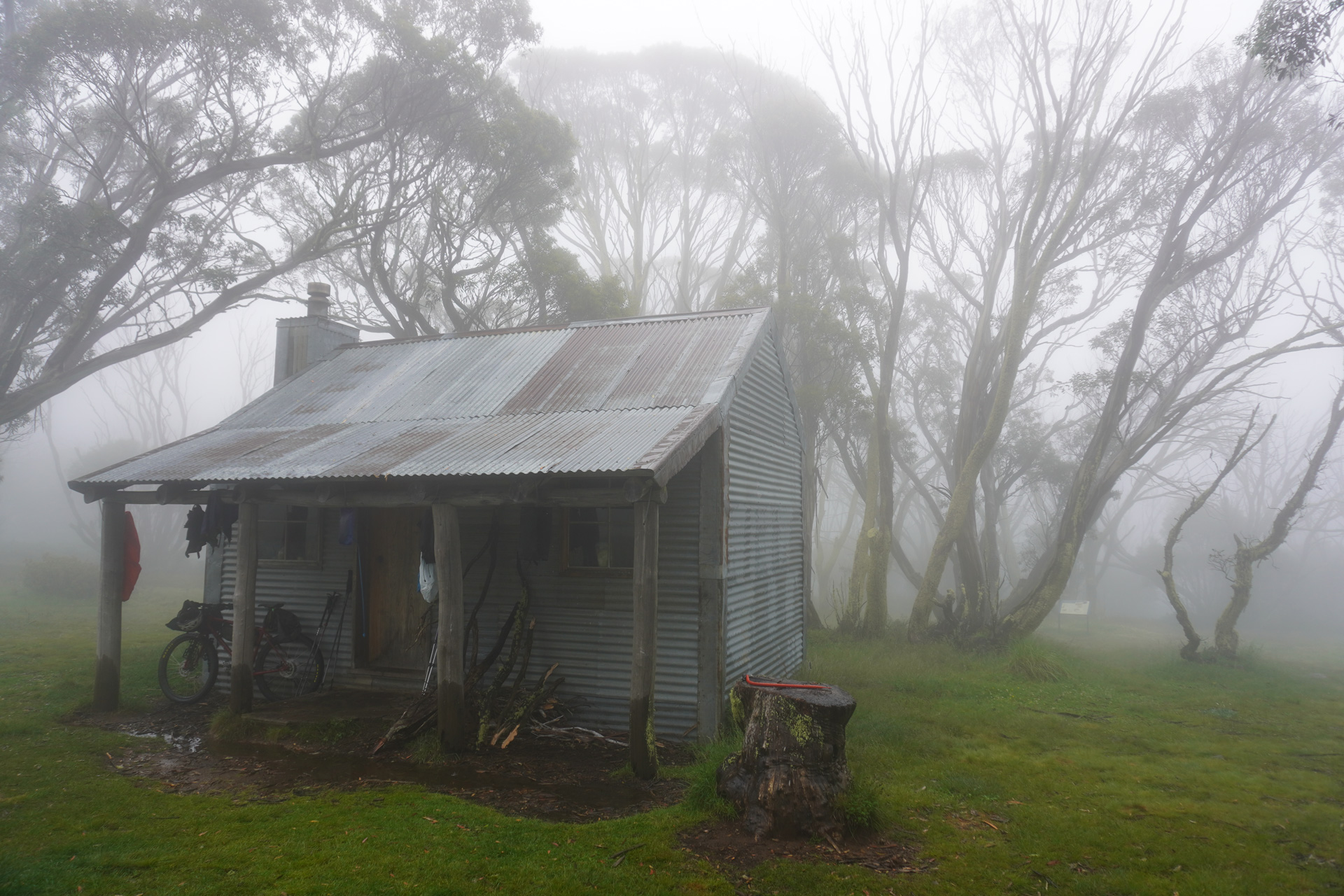
Day 2: Federation Hut to Derrick Hut – 15km
Most of the day is spent following the lovely Razorback Ridge south to Diamantina Hut on the Great Alpine Rd. The camping there isn’t great though, so push on over the top of Mt. Hotham and around some ski field-related paraphernalia (lifts, snow making machinery) to the lovely, tranquil Derrick Hut.
Day 3: Derrick Hut to Cope Hut – 15km
A beautiful start through alpine flora leads down to cute Dibbins Hut and a bridge over the Cobungra River, a section that coincides with the Falls to Hotham hike. Striding back uphill takes you onto the high plains, barren but nevertheless attractive in their own way. Keep your eyes open for Brumbies as you converge on Cope Saddle Hut, a pokey and unappealing shed. Much better to continue on to the larger and better-appointed Cope Hut.
Day 4: Cope Hut to Roper’s Hut – 17km
A longer day, starting out following marker poles through a trackless bog, but soon meeting Bogong High Plains Rd. Follow the tarmac until the turnoff to Big River Fire Trail, which runs 8.5km across windswept hills, before finally turning back onto single track for the last section to Roper’s Hut, where wonderful views and a warm fire await.
Day 5: Roper’s Hut to Mt. Creek – 23km
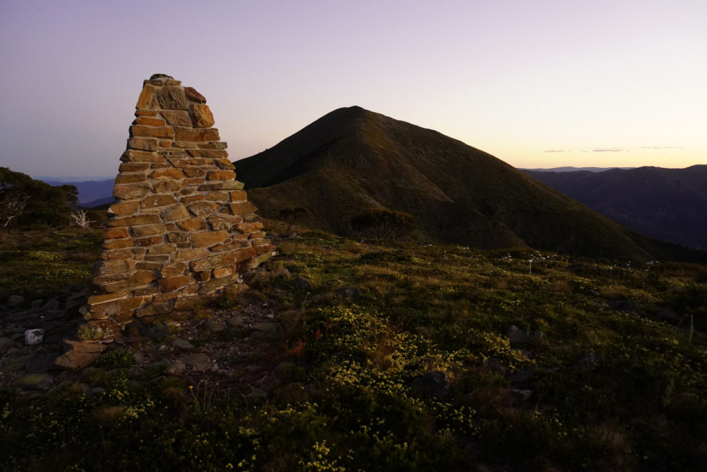
Saving the longest day until last, head downhill for two hours to Big River, which can be waist deep after rain. Cross carefully using the chain provided, and tackle the steepest climb of the hike all the way to the top of the Victoria. Bag the Bogong summit cairn before starting carefully down Staircase Spur, steep in places. It’s a long four hours down to Mt. Creek campsite, and hopefully a car full of cold beverages.
Costs
There is no fee to hike in the Victorian Alps, or for using the huts, although you could donate to their upkeep via the VHCHA shop (see link below). If you only have one car, the taxi fare to Harrietville could cost approx. $100, not too bad when split between four hikers.
Equipment
Most of the clothing and equipment for this adventure should already be in your hiking wardrobe and cupboards, but make sure not to forget these: some cord for making washing lines in the huts; a head net for the flies; a PLB; a gas stove for cooking as open fires are not permitted in the High Country; water purification as all drinking water should be purified, whether from water tanks or creeks.
Navigation
While you might be comfortable navigating with a phone app or handheld GPS unit, it’s essential to carry backup paper maps and a compass in case of battery failure. The 1:25,000 scale VicMaps you’ll need for this hike are: Feathertop South (8324-3-S), Falls Creek South (8324-2-S), Falls Creek North (8324-2-N) & Mitta Mitta South (8324-1-S). In addition, much of the high country route is marked by tall, numbered poles intended to guide skiers in deep snow, but they’re also useful for hikers. For example, pole 333 is a major junction on the Bogong plains.
Safety
Hiking in the Victorian Alps is no more dangerous than any other Alpine hiking, but the usual precautions should be followed. The area is notorious for sudden changes in the weather and can easily swing from cloudless skies to snow within a quarter of an hour. Full waterproofs must be carried, even on a day hike. If you find yourself atop a ridge, or a summit, in a lightning storm, crouch as low as you can with your feet together, away from trees. If you can find a cave or overhang, shelter inside equidistant from the walls and mouth, and sit on your pack.
Accommodation
Sleeping in the huts is prohibited unless in an emergency, so all parties must carry full camping equipment. With the exception of Diamantina, all the hut sites along the way have flat enough ground to pitch a tent. The huts vary in size and amenities, but most have fireplaces, cleaning equipment, and an emergency food stash (for emergencies only). Should you need to light a fire for warmth or drying clothes, you should replace any wood you use, leaving it undercover so it’s dry for the next party that arrives, bedraggled, in the middle of a storm. The huts that coincide with the Falls to Hotham Crossing (i.e. Dibbins, Cope) have numbered camping platforms that can be booked through the Parks Vic website. This will give you peace of mind in high season, but aren’t strictly necessary. Don’t camp on the platforms unless you’ve booked them.
Useful links:
https://www.parks.vic.gov.au/things-to-do/hiking-and-bushwalking
More Adventures like this
-
Hiked Kosciuszko's Main Range circuit in summer, and think it’s done and dusted? Think again! The same route in winter, in below-freezing temperatures, is a whole different story.
Snowshoeing Kosciuszko
Kosciuszko National Park, NSW
-
Australia's most famous multi-day hike, the Overland Track is 65 km, six-day trek through the heart of the Cradle Mountain-Lake St Clair National Park.
The Overland Track
Tasmania
-
At 3033m, Mt Aspiring is the highest mountain in New Zealand outside of the Aoraki / Mt. Cook region. Challenging, yet achievable by anyone with a reasonable level of fitness, a few basic skills under...
Climbing Mt Aspiring
Mt Aspiring National Park, Otago, New Zealand
-
The Thorsborne Trail on Hinchinbrook Island, Queensland, is rated as one of the best multi-day hikes in Australia, and features in Lonely Planet’s “Epic Hikes of The World.” Just a few hours dri...
Thorsborne Trail
Hinchinbrook Island, QLD
-
Escape the crowds in Torres del Paine National Park on a trek through Southern Patagonia's most secluded, unspoiled landscapes found only in the Zapata Valley. Few places can match the mystical beauty...
Trekking in Zapata Valley
Torres del Paine, Patagonia, Chile
Related Stories
-
- our stories
12 August 2021 |Winter canyoning - now who's ready to plunge into near-freezing waters?
It has been said* that Australians, as a nation, are scared of cold water. So who in their right mind would willingly plunge their... -
- our stories
7 October 2020The importance of sustainable travel
Sustainable travel takes into full account of the destination’s current and future economic, social and environmental impact so...
