Every step I took, the uneven tussock grass sent a sharp pain through my right knee. I took a deep breath, readjusted my 20kg backpack and forced myself to keep going. “You’ve got this,” I said to myself.
Except, it turns out I hadn’t ‘got this’ at all.
I was a few days into the Drakensberg Grand Traverse (DGT), a roughly 250km trail snaking through the Drakensberg Mountains in South Africa and the landlocked country of Lesotho. I say ‘trail’ loosely as there are no markers here, no set route even. Just a series of shepherd and sheep trails that crisscross the mountains.
The DGT starts at the Sentinel Car Park and finishes at the Bushman’s Neck Border Post. To officially complete the hike you’ll need to summit Mont Aux Sources (3,282m), Cleft Peak (946m), Champagne Castle (3,377m), Mafad (3,450m), Giant’s Castle (3,315m) and Thabana Ntlenyana (3,482m). The route you take between them? Well, that’s up to you.
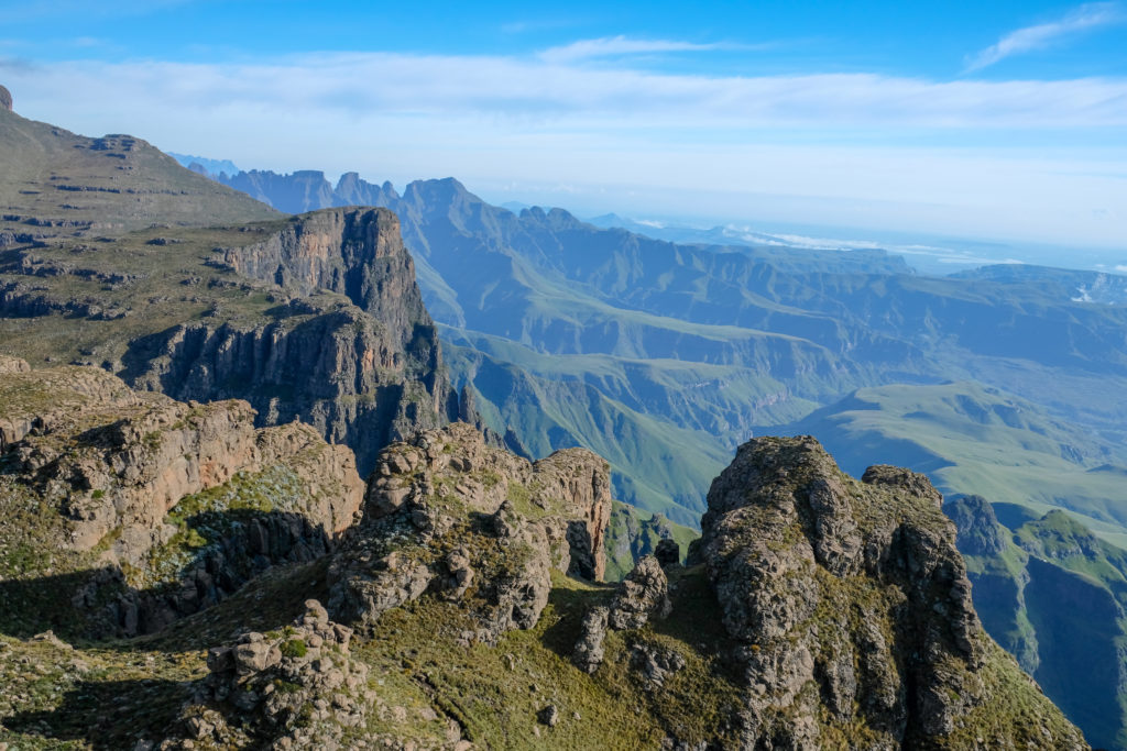
Frequently named one of the hardest hikes in the world, each day includes over 20km and 1,000m of elevation. And – with almost the entire hike being above 3,000m – altitude acclimatisation is important.
While 20km per day elsewhere is a walk in the park, the DGT – with its uneven ground, elevation, and heavy packs due to food, warm clothes and water – shouldn’t be underestimated.
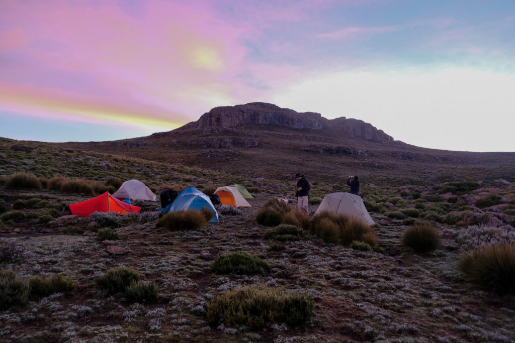
Our seven-strong group planned to do the entire crossing in 12 days, rather than the recommended 14. We’d carry all the food we needed for the first nine days when one of the crew’s trail-running friends would meet us for a food drop at a random location in, quite literally, the middle of nowhere.
I’ve always loved hiking and have completed multi-day hikes in Europe, New Zealand, Australia and South America. I spend all my weekends hiking in the Blue Mountains near my home in Sydney. I was confident in my fitness level to complete the hike, but it turns out injury can strike at any time.
Scaling the chain ladders of Sentinel Peak
It started well. Day one was the infamous chain ladders at Sentinel Peak; two loose metal chain ladders 17m and 13m respectively with our bags the heaviest they would be throughout the trip. But, despite some nerves, we made it up with no problems, the group staring in wonder at the top as we took in the incredible sights that engulfed us.
By the end of day one, we knew this was going to be much harder than we imagined. We didn’t make it to our first planned camp, the altitude and terrain taking us all by surprise and slowing us down. But, over the next few days, while the rest of the crew got stronger, I got weaker.
The pain started on day two, a shooting pain in my knee I’d never felt before. I was lagging behind the rest of the group, with the anxiety of being the slowest slowing fogging my brain and making the entire situation worse.
By day five, with members of the group taking weight from my backpack to ease the pain, I knew I couldn’t carry on. I was in agony, and worse than that, I was becoming a safety hazard for the rest of the group.
This is a truly remote hike and by slowing the pace I was forcing us to walk in the dark and potentially not complete the hike within the days we’d planned. Food, weather, exacerbating the injury, the potential risks go on.
ACCEPTING DEFEAT AND HEADING HOME
Although helicopter rescue was included in the national parks fee, I didn’t want to waste valuable resources. I was in pain, but I hadn’t broken anything. Ibuprofen to take down the swelling, paracetamol to ease the pain, and strapping tape would need to get me through the two days of descent needed to reach civilization.
Another member of the group was also feeling unwell, with an unexpected chest infection. She decided to leave too, making exit options safer for both of us.
What followed was two days of painful hiking descending over 2,000m down a valley following vague directions we ascertained from a hard-to-hear satellite phone call. In the words of our Zulu Guide, Jeffrey, you go “down, down, down, down” and eventually you’ll reach some kind of civilization.
After two days, many tears, some sketchy moments and lots of encouragement and kindness to one another, I limped into a small town called Monks Cowl, my friend coughing beside me.
Previous experience, the right equipment and first aid, and remaining calm under pressure and through pain, got us to safety. We did many things right, but there are also many things I would do differently if I were to tackle a hike of this scale again.
5 KEY LEARNINGS FROM WHEN MY ADVENTURE WENT WRONG
Plan beyond your route:
Within our group, we ensured we had two sets of KZN Wildlife Drakensberg Hiking Maps (numbers 1 to 6; scale 1: 50 000) covering our planned route. We had also collaborated before the hike, using various online resources to plot a rough route (knowing of course that we had our wonderful guide Jeffrey who knew the terrain like the back of his hand). I had these waymarks plotted into my Garmin GPS and we had multiple phones with apps like Alltrails and Maps.me. What we didn’t have was maps or GPS waymarks covering our escape route. And despite having downloaded the entire South Africa maps on Maps.me these wouldn’t load correctly when we needed them. We had the route partially covered via paper maps and a vague GPS signal but the rest was done based on gut instinct and common sense. Ensure you have maps and coordinates for a wider section than just your hike. Double-check, and triple check.
Have clear risk management and exit plan:
We had no risk management plan in place and while we had a local guide this was not an organised tour. Our safety was our responsibility, Jeffrey was there simply to help us with the route. We had some discussions around safety and risk; planning the route, discussing first aid kits, securing satellite phones and PLBs, ascertaining up-to-date information about water sources, ensuring the right gear for the varied weather. But we never got granular; what would we do if X, Y, Z went wrong? What are the exit points on the route? When do we pull the plug? What if someone gets injured? Expect the best and prepare for the worst. Get granular about possible risks and what the plan would be. Write them down, agree on them. Don’t leave things to luck.
Train harder:
Before starting this hike I felt confident with my fitness; after all, I hiked every weekend. But I didn’t add any special training to my preparation despite knowing the elevation and the fact I’d be carrying more weight than ever before. One severely sprained knee ligament (and months of recovery) later and I learned my lesson. While injury can happen at any time, I could have trained harder to protect myself. My next big adventure – a 250km cross country ski across Finnmark Plateau in the arctic – was injury-free thanks to having a dedicated training program.
Be aware of your own shortcomings:
I have always had a very conservative approach to risk. I know my limits and I am vocal about my weaknesses. My weakness (apart from my knees apparently!) is navigation. I can do it – but I certainly wasn’t confident enough at the time for 14 days in an unknown country across little-trafficked terrain. When no one in the group could answer the question if they were confident or not, I sourced us a local guide for the first nine days (the last three days of the hike are well-trodden). With the long days, it is something that proved invaluable; we had no time to be making navigational mistakes. Be honest about your own shortcomings and mitigate them. If you’re travelling in a group, set roles and responsibilities – you cannot assume that someone else will have the skills you don’t.
Have the hard conversations:
While everyone showed me nothing but kindness during the injury, helping with my gear and offering encouragement to keep going, I did have concerns before the trip. Our approaches to risk and planning were very different, and it is very hard to navigate this if you don’t know the group well. I was certainly the most risk-averse, keen to be honest about skills and limits, whereas others perhaps erred on more of the ‘we’ll be fine’ approach. At the time, I felt as though I was the pessimistic one, but – a few years later –I’ve realised that this isn’t pessimism, it’s realism. It’s no longer something I am ashamed of as it is an important part of pushing your limits safely. I now have the hard conversations with people I hike with and ensure we’re on the same page. And if we’re not, I find people who are.
SIX MONTHS ON…
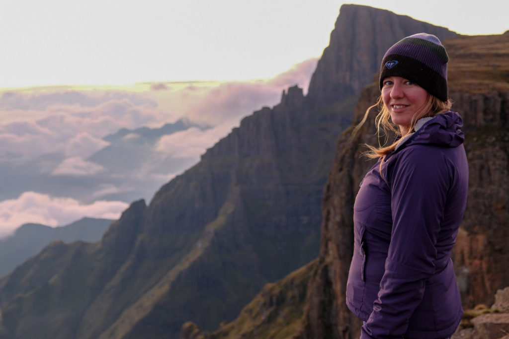
As for the injury, six months later I was assistant guiding on the Larapinta Trail in the Northern Territory, aware of my body’s limits and working hard to ensure they were never met again.
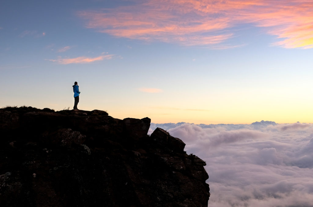
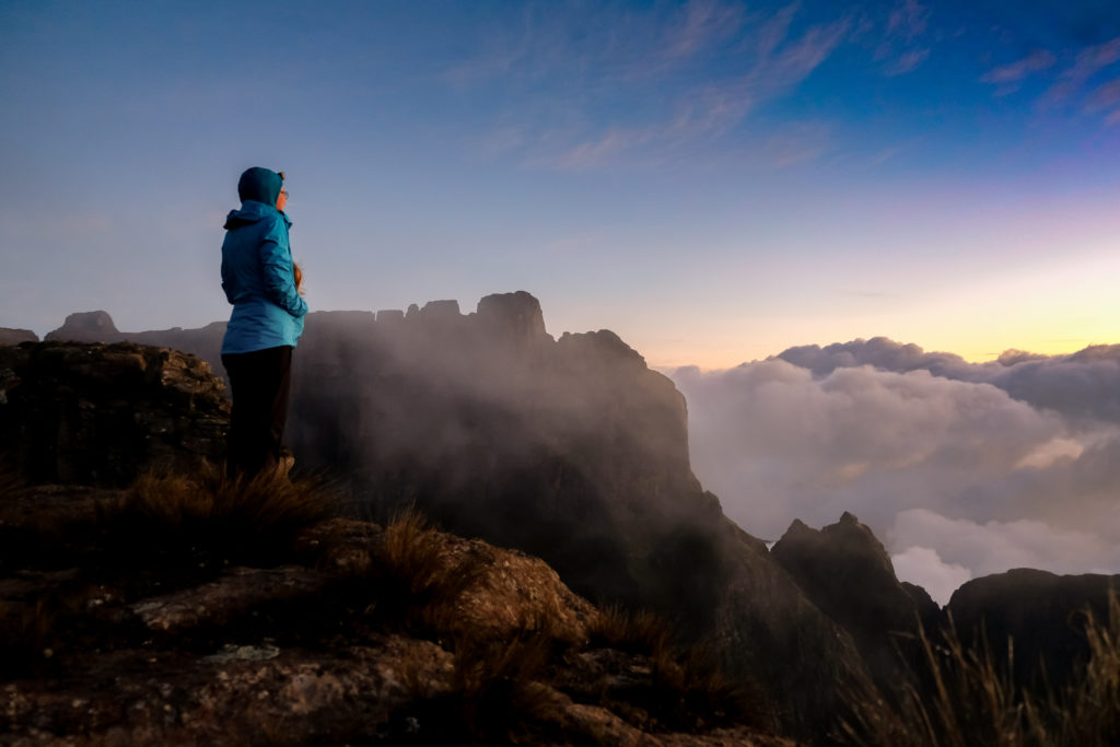
Although I never completed the DGT it was still one of the most magical experiences of my life. The scenery is breathtaking and I got to walk in places hardly anyone else has been, meet Lesotho shepherds, see Condors fly beneath us at sunrise, and showed myself what I was capable of during the two-day descent to safety.


